top of page
South America Political Map - Compact
MapSherpa
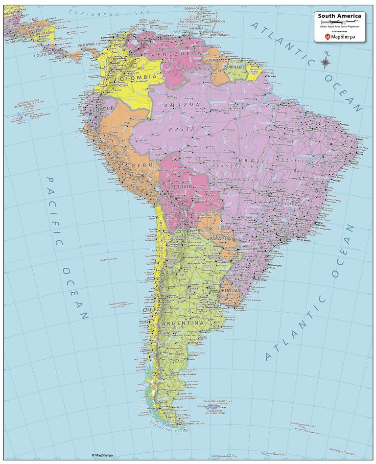
Created specifically for MapSherpa, this South America Political Map shows all the countries that make up the continent; from Colombia in the north, to the end of Tierra del Fuego of Argentina and Chile to the south. Each country and its capital and major cities are noted, as well as the primary physical features such as mountain ranges, rivers, and lakes. The major islands and their associated countries are noted. With multiple sizes available, this is the perfect reference map for home, office, or school use.
Page Size: 16 x 19.75 in (406 x 502 mm)
Buy this map on MapTrove.ca
bottom of page