top of page


Santa Clara County, California
MapSherpa
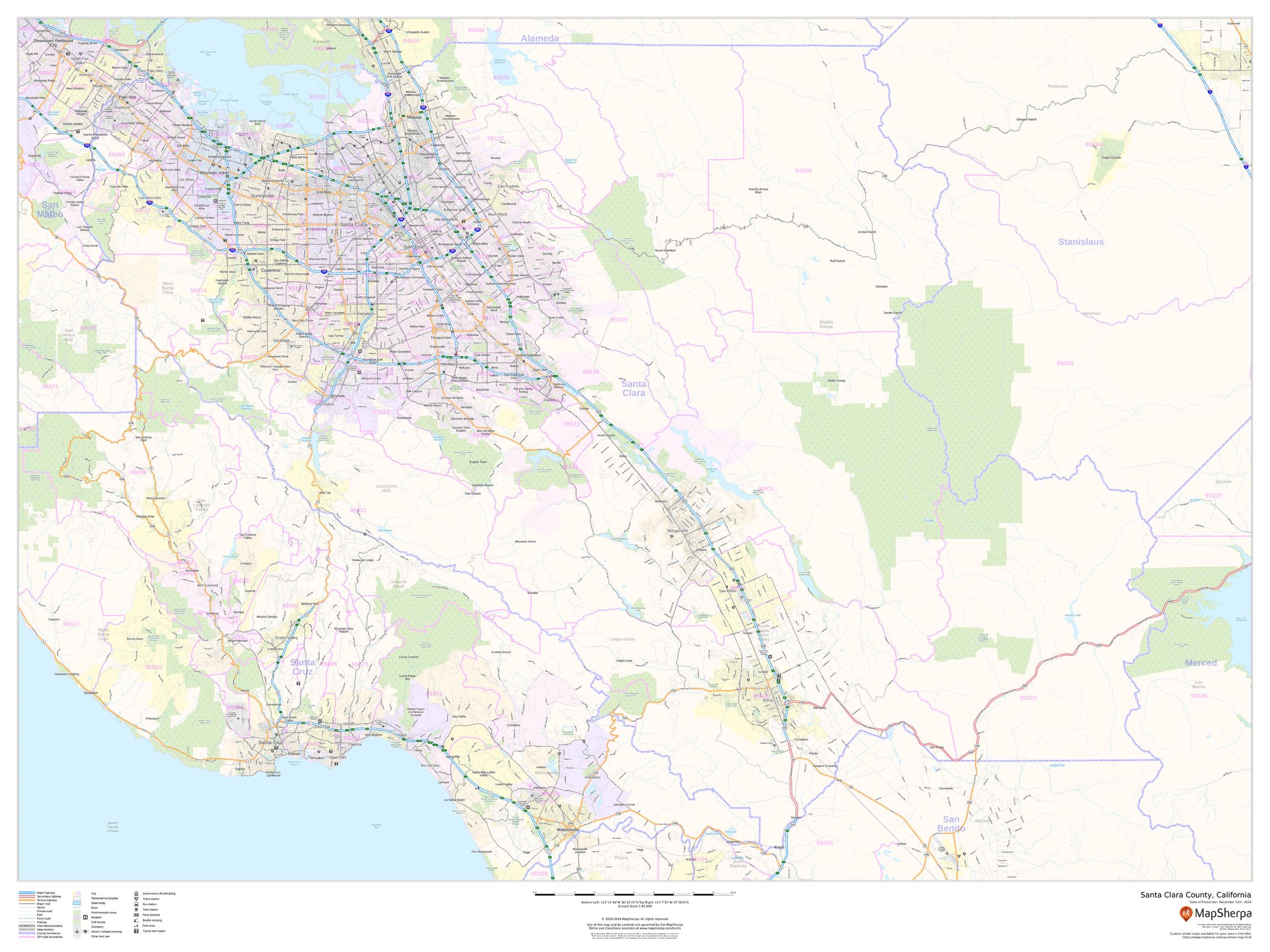
This map of Santa Clara County, California shows regional level information. Base map features include highways and major roads with labelling; railways; high level land use such as parks and recreation areas; and a selection of points of interest including transportation hubs like airports and train stations, tourist information and police stations. ZIP code boundaries are shown as a secondary map feature.
Page Size: 48 x 36 in (1219 x 914 mm)
Buy this map on MapTrove.ca or MapTrove.com
bottom of page