top of page
North America Political Map - Extra Large
MapSherpa
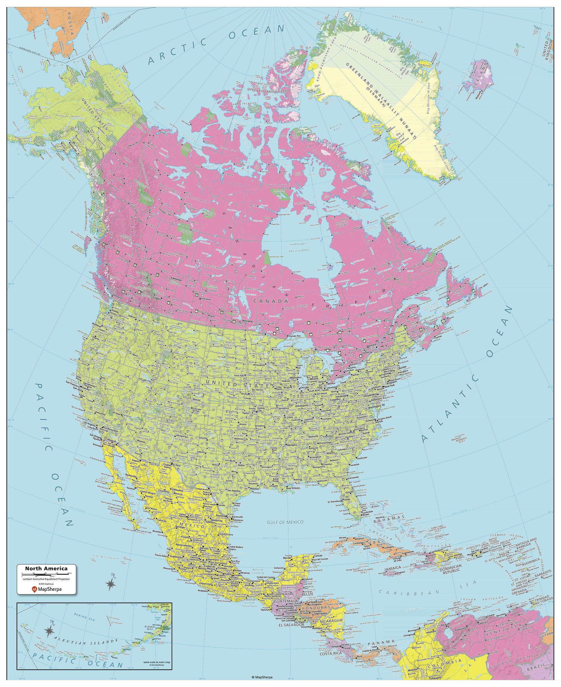
Created specifically for MapSherpa, this North America Political Map shows all the countries that make up the continent; from Canada and Greenland in the extreme north, to the end of Panama and the Caribbean Islands in the south. Each country and its capital and major cities are noted, as well as the primary physical features such as mountain ranges, rivers, and lakes. For both Canada and the United States, the individual Province and State boundaries & capitals are noted. With multiple sizes available, this is the perfect reference map for home, office or school use.
Page Size: 40 x 49 in (1016 x 1245 mm)
Buy this map on MapTrove.ca
bottom of page