top of page
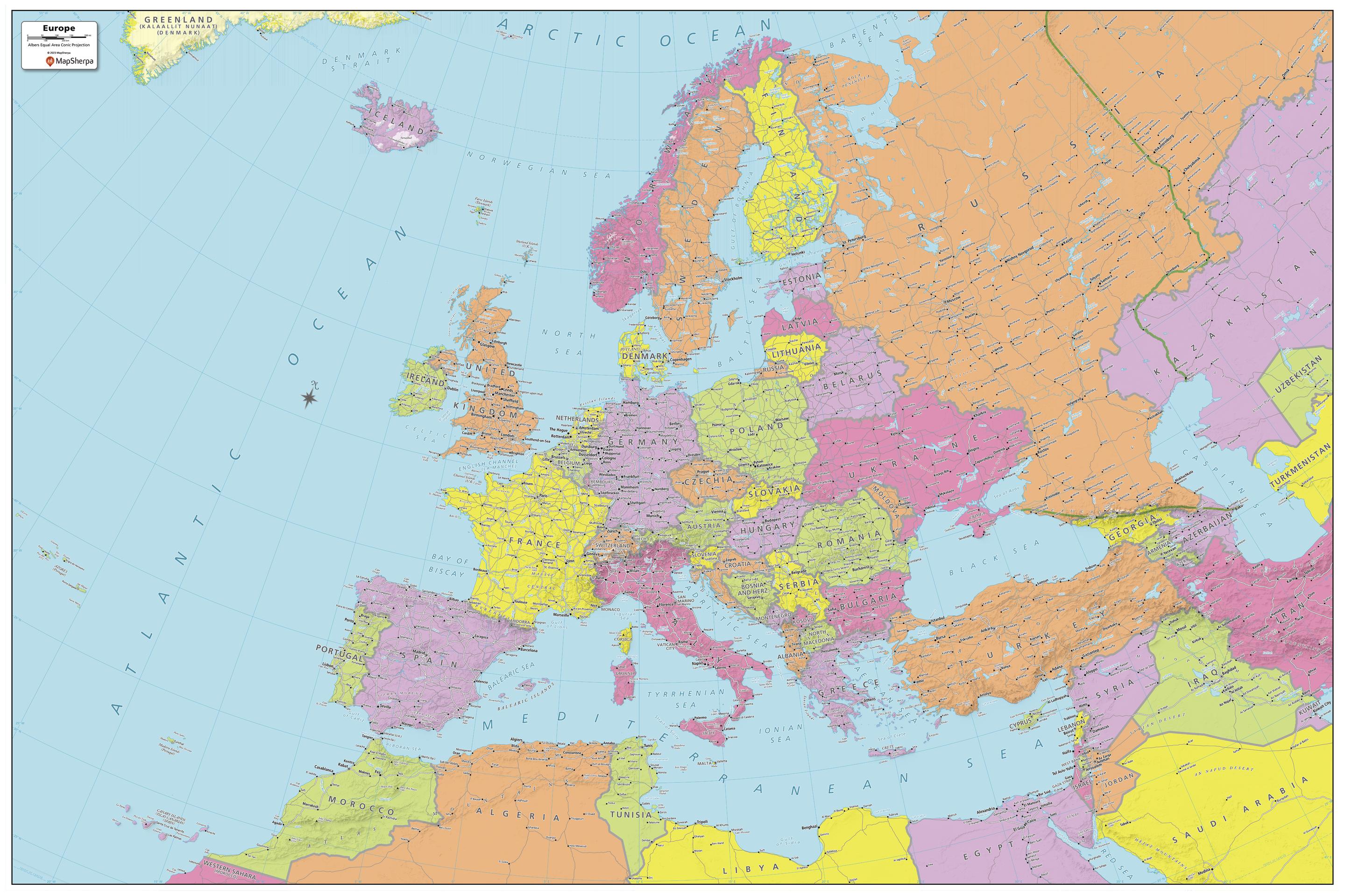
Europe Political Map - Extra Large
MapSherpa
Explore the continent of Europe with this map created specifically for MapSherpa. New and up-to-date, this Map shows all the countries that make up the continent. Stretching from the Atlantic Ocean in the west to Arctic Circle and beyond, to the Ural Mountains and the Mediterranean Sea, this map prominently shows; national capitals, primary cities & towns, primary water features, mountain ranges and all time zones. With this map you can clearly see that some countries straddle both Europe and Asia! With multiple sizes available, this is the perfect reference map for home, office, or school use.
Page Size: 60 x 40 in (1524 x 1016 mm)
Buy this map on MapTrove.ca

bottom of page


