top of page
Calgary, Alberta Postal Code Forward Sortation Areas
MapSherpa
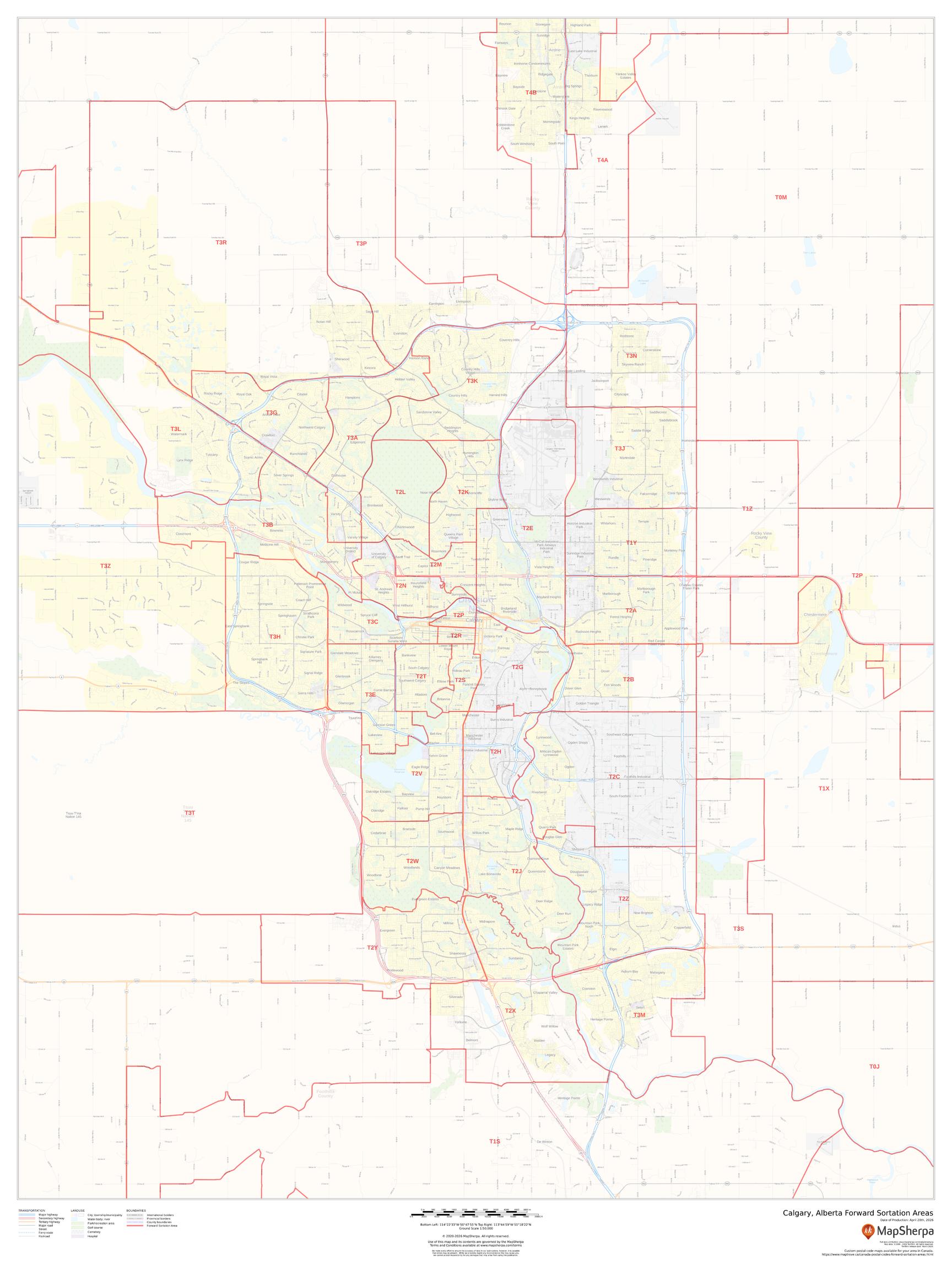
This map of Calgary shows postal code forward sortation areas overlaid on a road map. Ideal for planning of deliveries, home services, sales territories, real estate and much more. Base map features include all roads with major roads and highways labelled; neighbourhood names; railways; and high level land use such as parks and recreation areas, industrial areas and hospital campuses.
Page Size: 36 x 48 in (914 x 1219 mm)
Buy this map on MapTrove.ca
bottom of page