top of page
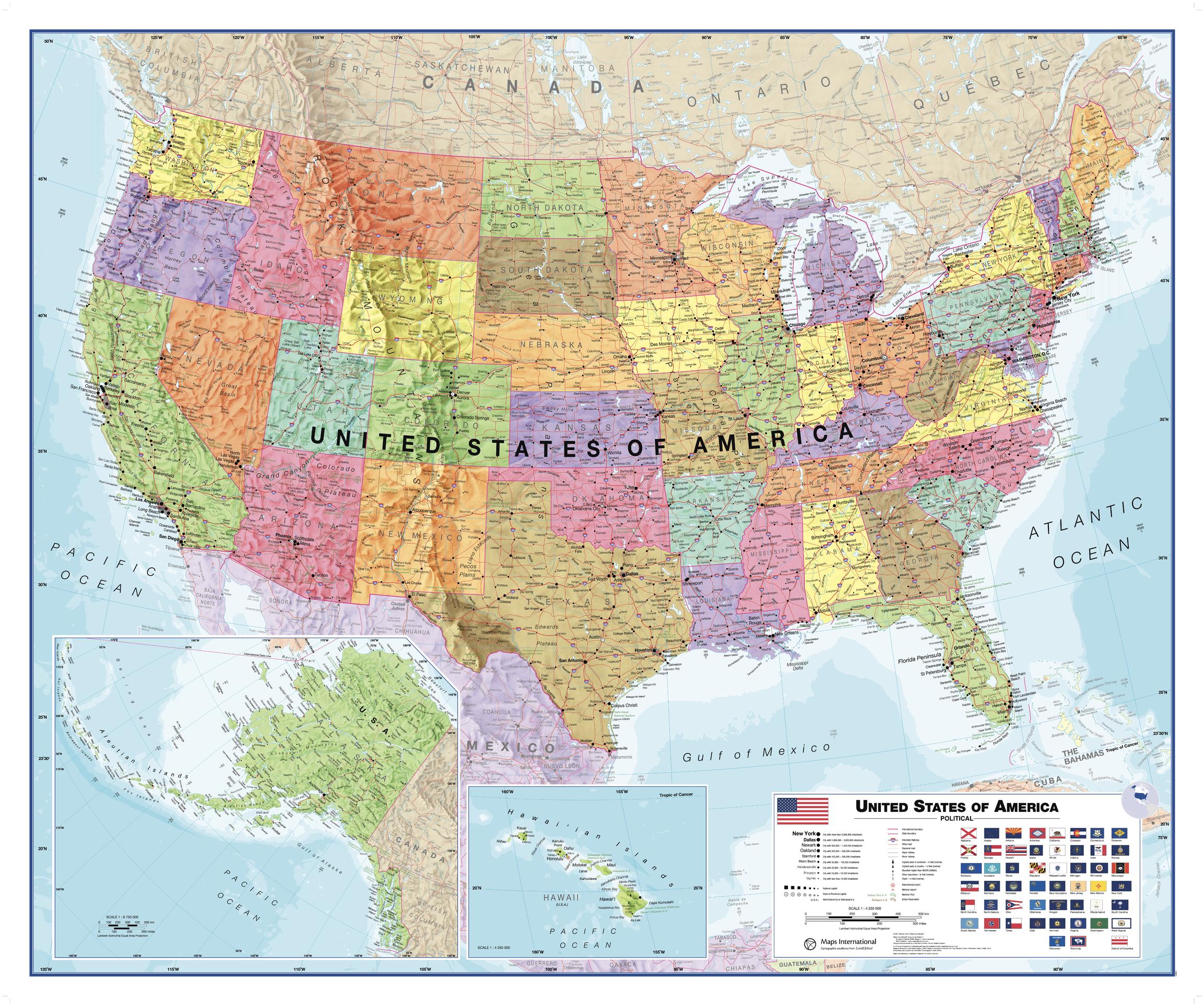
USA Political Wall Map
Maps International
This USA map clearly depicts all the cities, major roads and also shows all the state areas and boundaries. Flags of the States are also displayed. The Map is politically up to date with cartographic changes.
Page Size: 47.25 x 39.5 in (1200 x 1000 mm)
Buy this map on MapTrove.ca or MapTrove.com
bottom of page