top of page
Cossack Ukraine of the 16th - 18th centuries - Ukrainian
Kartographia
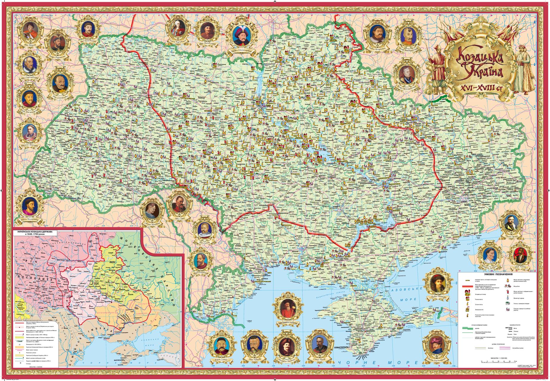
This unique Ukranian-language map displays key historical places and events on a modern geographical base. Towns and villages that are associated with the greatest highlights of the Ukrainian Cossackdom - Kozakdom period are marked. These include places of battles, fortresses, ZaporizhianSich places, hetmana's residences, regimental and sotnia towns. The inset map presents a historical map of that period. Map margins contain portraits of prominent Cossack leaders.
Page Size: 38 x 26 in (960 x 660 mm)
Buy this map on MapTrove.ca
bottom of page