top of page
Manitoba & Saskatchewan Wall Map
Globe Turner
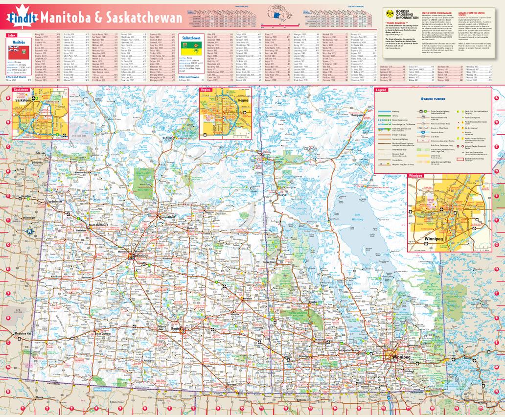
This colorful, easy-to-read province map of Manitoba & Saskatchewan identifies all major thoroughfares, secondary roads, freeway interchanges, rest areas, distance markers, landmarks, recreational areas, and more. Shaded relief on the province map provides a three-dimensional sense of Manitoba & Saskatchewan's topography. Detailed city inset maps of Regina, Saskatoon and Winnipeg are based on the latest street information from our cartographic experts. The map also includes the latest border crossing information. A city index makes it simple to locate even the smallest town.
Page Size: 17.75 x 21.75 in (451 x 546 mm)
Buy this map on MapTrove.ca
bottom of page