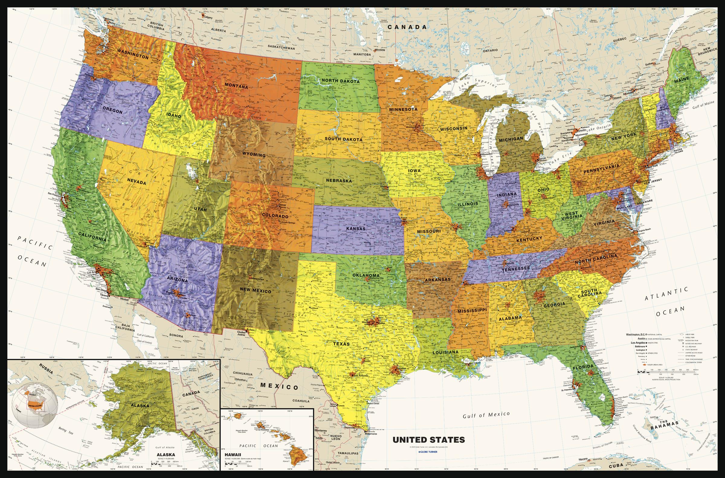
Contemporary USA Wall Map - Large
Globe Turner
Perfect for home, business, or school, this Contemporary USA Wall Map combines bright, attractive colors with highly-detailed cartography. Features displayed on the map include state boundaries and capitals along with other major cities and towns; physical geography such as mountain ranges, mountain peaks, seas, gulfs, rivers, and lakes; the Interstate Highway System and other major roads; and sites maintained by the National Park Service and other federal and state agencies. Data from the 2020 U.S. Census is used to show the relative sizes of cities in the United States along with the latest census information from neighboring countries. Special features include ivory-colored oceans and a black decorative border. This map of the United States uses the Albers Equal Area projection. The most significant highway update for this 2024 edition shows the completion of I-49 in northwest Arkansas and southwest Missouri.
Page Size: 50 x 33 in (1270 x 838 mm)
Buy this map on MapTrove.ca


