top of page
American Highways Wall Map
Globe Turner
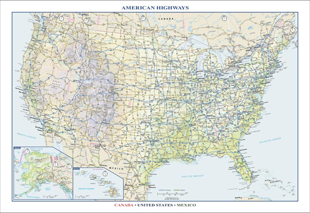
Perfect for home, business, or school, this American Highways wall map shows the Interstate Highway System of the United States, along with other important Federal and state highways. Details included on this wall map include: international and state/provincial boundaries; freeways, tollways, and other major roads; cities and towns; time zones; and National Parks in the United States. Insets of Alaska and Hawaii are also included on this map, along with parts of southern Canada and northern Mexico. Special features include colored relief and a white decorative border. City type sizes reflect the 2020 U.S. Census
Page Size: 22.75 x 15.5 in (572 x 394 mm)
Buy this map on MapTrove.ca or MapTrove.com
bottom of page