top of page
Monterey Bay, California Wall Map
Franko Maps
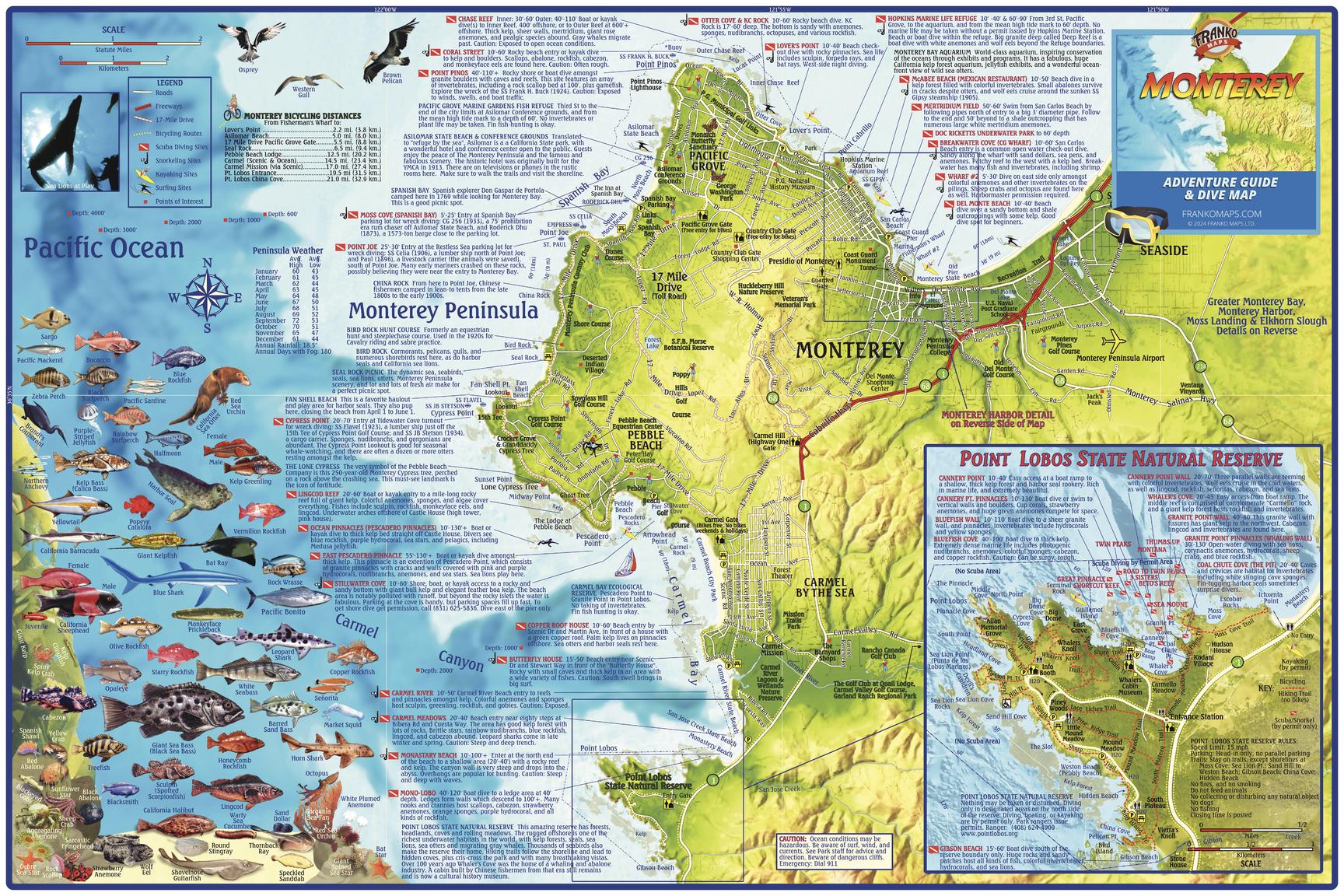
This relief map depicts the Monterey Peninsula and environs, including Sand City, Pacific Grove, Pebble Beach, Carmel and Point Lobos. Dive and snorkel sites are located, named and described. The map has surfing and kayaking spots, roads and bike routes and points of interest. There is a detailed inset of Point Lobos State Natural Reserve. Also, colorful illustrations of fish and other kelp forest creatures.
Page Size: 36 x 24 in (914 x 610 mm)
Buy this map on MapTrove.ca

bottom of page


