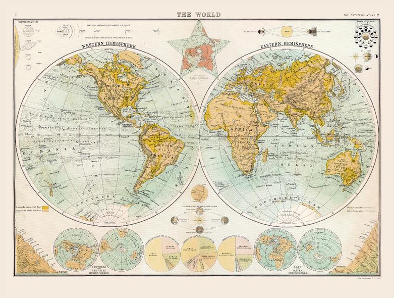
Historic Map of the World (1898)
Collins
Full colour historical map of the world from The Citizen's Atlas, published by John Bartholomew and Co. Ltd. in 1898. Divided into two circles showing the Western and Eastern Hemispheres, this historical map clearly shows continental and country borders, allowing for a clear view of the world, as it was viewed at the time. Extra information including astronomical diagrams, graphical representations of the world’s highest mountains and statistical charts of population is placed beside the map to allow for a complete understanding of how the world was seen at the end of the nineteenth century. This map is part of a fascinating collection from the last 150 years of world atlases.
Page Size: 16.25 x 12.5 in (413 x 312 mm)
Buy this map on MapTrove.ca


