top of page
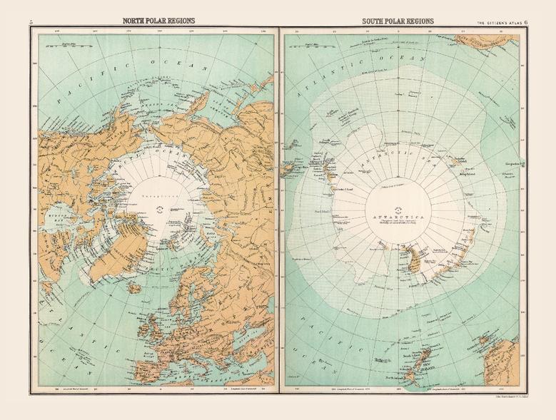
Historic Map of the Polar Regions (1898)
Collins
Full colour historical map of the polar regions from The Citizen's Atlas, published by John Bartholomew and Co. Ltd. in 1898. Divided into two sections: one displaying the North polar regions and the other the South, this map demonstrates what was known about these areas in 1898 when polar exploration was only just beginning in earnest. While large middle sections of the regions are marked as Unexplored, what was explored is detailed and shown in relation to surrounding countries. This map is part of a fascinating collection from the last 150 years of world atlases.
Page Size: 16.25 x 12.5 in (412 x 312 mm)
Buy this map on MapTrove.ca

bottom of page


