top of page
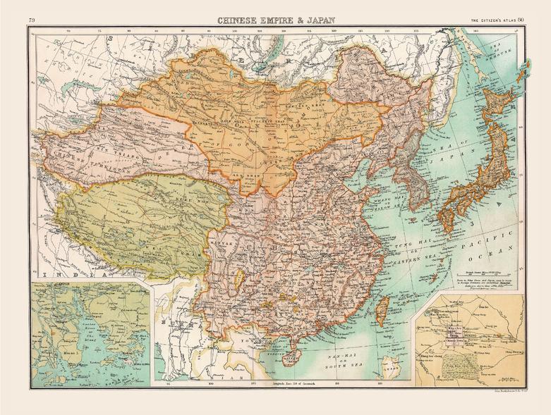
Historic Map of the Chinese Empire and Japan (1898)
Collins
Full colour historical map of the Chinese Empire and Japan from The Citizen's Atlas, published by John Bartholomew and Co. Ltd. in 1898. In addition to showing the Chinese Empire and Japan, this map also shows Tibet, Chinese Turkistan, Korea, and Mongolia in full, with clear borders between the countries and territories. Additional inset maps provide a more detailed look at Peking, restyled now as Beijing, China’s Capital city, and Chu Kiang (the Canton River). This map is part of a fascinating collection from the last 150 years of world atlases.
Page Size: 16.5 x 12.5 in (413 x 312 mm)
Buy this map on MapTrove.ca

bottom of page


