Historic Map of South America (1898)
Collins
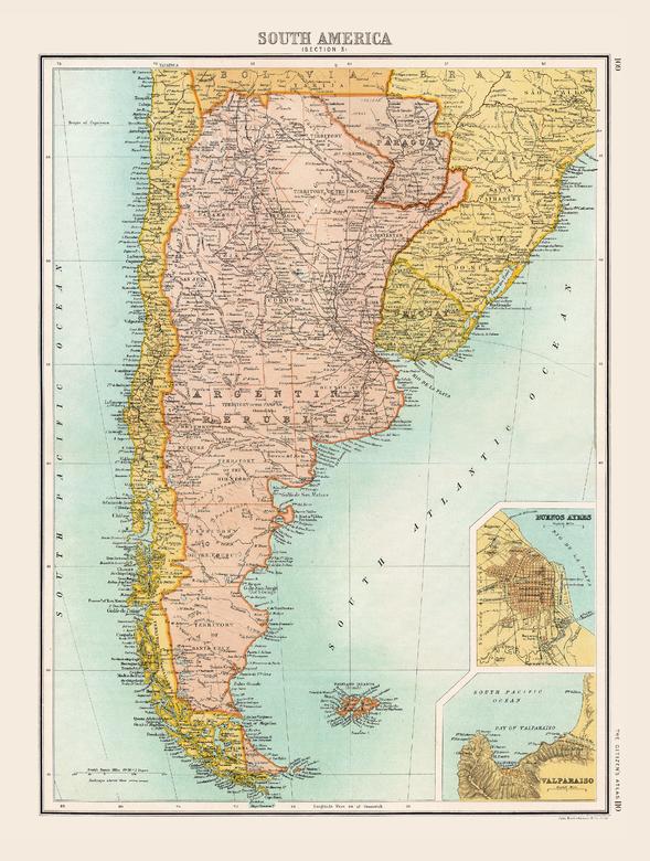
Full colour historical map of South America from The Citizen's Atlas, published by John Bartholomew and Co. Ltd. in 1898. The map of South America in 1898 depicts a continent whose borders are mostly recognizable today. The decolonization process through the nineteenth century had seen the Spanish and Portuguese lose their New World mainland territories and newly independent countries take their place. A territorial dispute which still continues today is that of Argentina’s claim over the Falkland Islands (known in Argentina as the Islas Malvinas) in the South Atlantic Ocean. Additional inset maps provide a more detailed look at Buenos Ayres and Valparaiso. This map is part of a fascinating collection from the last 150 years of world atlases.
Page Size: 12.5 x 16.25 in (312 x 413 mm)
Buy this map on MapTrove.ca