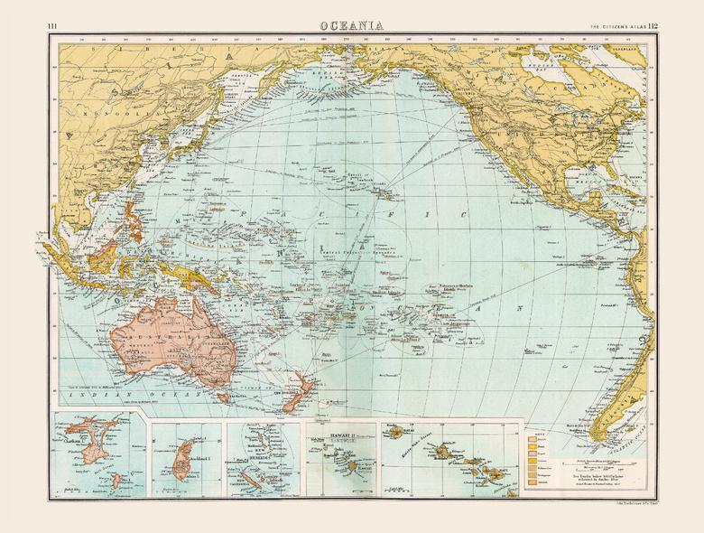
Historic Map of Oceania (1898)
Collins
Full colour historical map of Oceania from The Citizen's Atlas, published by John Bartholomew and Co. Ltd. in 1898. Dominated by shifting colonial powers, Oceania at the time was a complex region to map; this is clearly seen with New Guinea, an island shared between Britain, Germany and the Netherlands. For clarity, an additional key explains which territory is under the control of the many competing empires in the region. Further inset maps provide a more detailed look at Chatham Island, Pitt Island, Auckland Island, the New Hebrides, and Hawaii and the surrounding islands. A main feature of this map is the extensive trade routes that traversed the region. This map is part of a fascinating collection from the last 150 years of world atlases.
Page Size: 16.25 x 12.5 in (413 x 312 mm)
Buy this map on MapTrove.ca


