top of page
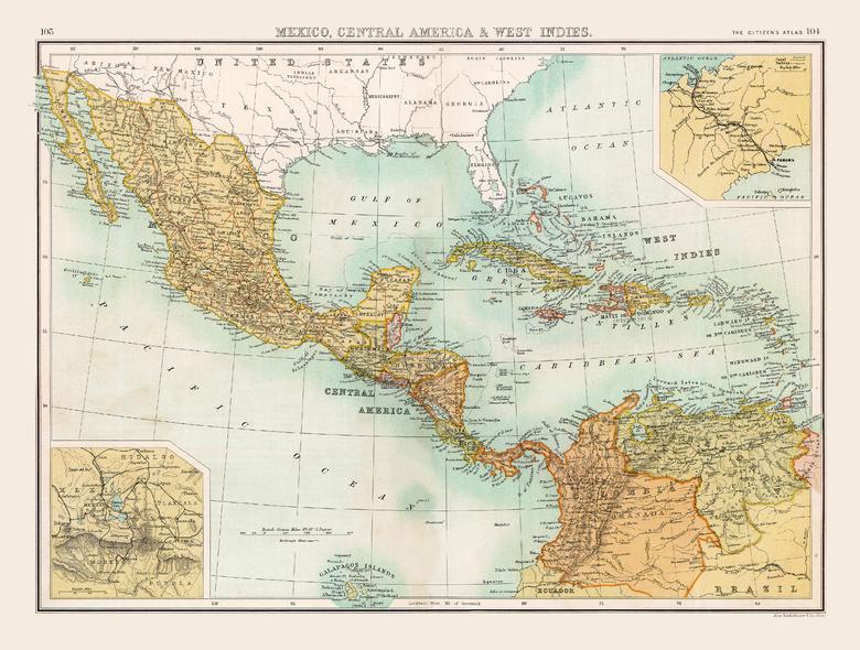
Historic Map of Mexico, Central America & West Indies (1898)
Collins
Full colour historical map of Mexico, Central America and the West Indies from The Citizen's Atlas, published by John Bartholomew and Co. Ltd. in 1898. The Central America of today is very similar to the one depicted in this map with two small exceptions: British Honduras became the independent Belize in 1981, and the absence of Panama which became part of Colombia in 1830. The Caribbean, however, has changed more significantly as colonial powers came and went. Additional inset maps show Mexico City and the abandoned attempt to build the Panama Canal in 1880. This map is part of a fascinating collection from the last 150 years of world atlases.
Page Size: 16.25 x 12.5 in (413 x 312 mm)
Buy this map on MapTrove.ca

bottom of page


