top of page
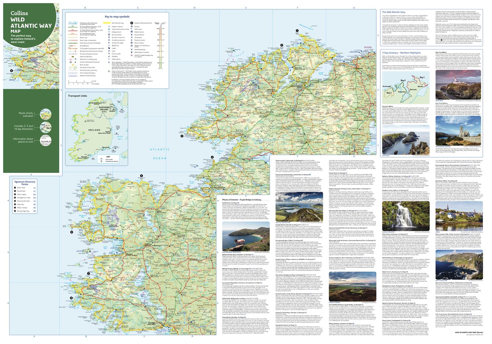
Collins Wild Atlantic Way Map - North
Collins
With clear mapping and a high level of detail, explore Ireland’s Wild Atlantic Way easily with maps from Collins. An ideal guide for tourists, locals, hikers and adventurers, this map covers the full 2500 km route (over 1500 miles), identifying tourist attractions, filming locations, places to stay, cafes, and restaurants. An essential companion or souvenir for anyone travelling along the Wild Atlantic Way.
Page Size: 32 x 22.25 in (810 x 560 mm)
Buy this map on MapTrove.ca

bottom of page


