top of page
Collins Children's Africa Wall Map
Collins
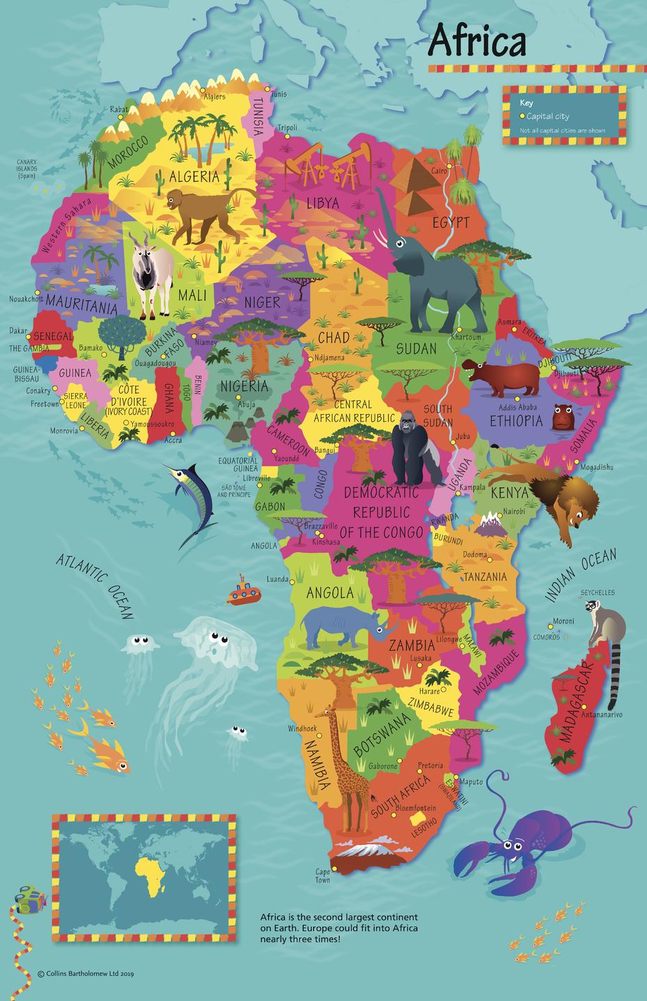
This highly illustrated pictorial map is designed to take children on a journey of discovery around the countries of Africa. The mapping is clear, colourful and highly informative and shows countries and capital cities. Stunning illustrations are used to depict themes such as national emblems, customs, food, birds, animals, buildings and sports to help younger readers gain an understanding of peoples around the world. The perfect introduction to maps for 4-8 year olds. Illustrated by Steve Evans.
Page Size: 19.5 x 30 in (492 x 760 mm)
Buy this map on MapTrove.ca
bottom of page