top of page
Asheville NC and The Blue Ridge Parkway
Benchmark Maps
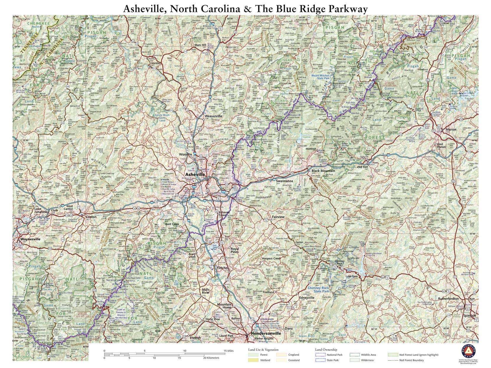
This wall map details the terrain and public lands surrounding Asheville, North Carolina. Map features include Mt. Mitchell (highest peak in the eastern U.S.), sections of Pisgah National Forest, several of North Carolina’s state parks, and the segment of the Blue Ridge Parkway between McKinney Gap in the northeast and Richland Balsam Overlook (highest point on BRP) in the southwest.
Page Size: 26 x 34.75 in (660 x 881 mm)
Buy this map on MapTrove.ca
bottom of page