


Backroad Mapbooks

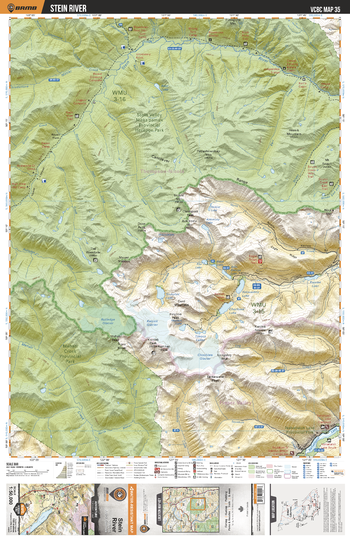
VCBC35 Stein River - Vancouver Coast & Mountains BC Topo
This recreation topographic map for the Stein River area highlights all the logging roads, trails and recreational Points of Interest including hunting, camping, hiking, mountain biking, canoeing, kayaking, backcountry skiing, wildlife viewing, ATVing, snowmobiling and more. No other map for the area provides you with this level of recreational or topographic detail. Covering 1,090 km2 (420 mi2), this 1:50,000 scale map measures 29 x 38 km (18 x 24 mi) and covers Stein River, Stein Valley Nlaka'pamux Provincial Heritage Park, Nahatlatch Lake Provincial Park, Nahatlatch Lake, Kent Creek and more!
Page Size: 24 x 37 in (610 x 940 mm)
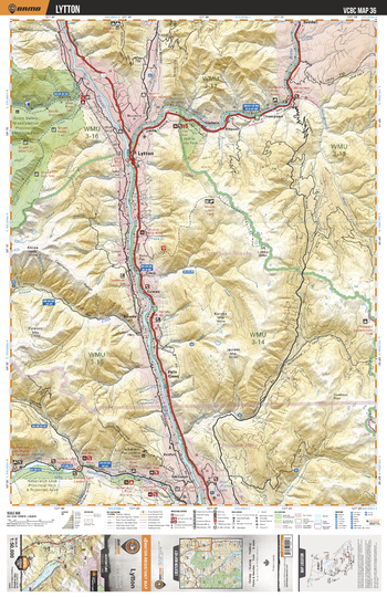
VCBC36 Lytton - Vancouver Coast & Mountains BC Topo
This recreation topographic map for the Lytton area highlights all the logging roads, trails and recreational Points of Interest including hunting, camping, hiking, mountain biking, canoeing, kayaking, backcountry skiing, wildlife viewing, ATVing, snowmobiling and more. No other map for the area provides you with this level of recreational or topographic detail. Covering 1,090 km2 (420 mi2), this 1:50,000 scale map measures 29 x 38 km (18 x 24 mi) and covers Lytton, Fraser River, Thompson River, Nahatlatch Lake Provincial Park And Proteted Area, Nicoamen River, Mowhokan Creek and more!
Page Size: 24 x 37 in (610 x 940 mm)
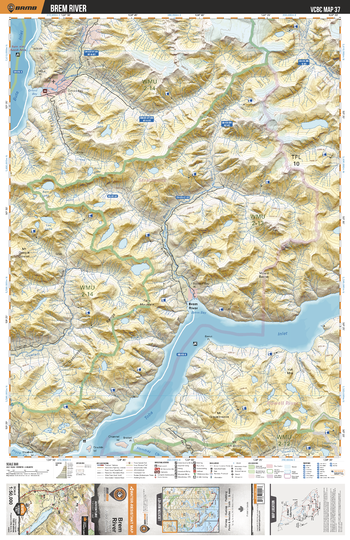
VCBC37 Brem River - Vancouver Coast & Mountains BC Topo
This recreation topographic map for the Brem River area highlights all the logging roads, trails and recreational Points of Interest including hunting, camping, hiking, mountain biking, canoeing, kayaking, backcountry skiing, wildlife viewing, ATVing, snowmobiling and more. No other map for the area provides you with this level of recreational or topographic detail. Covering 1,090 km2 (420 mi2), this 1:50,000 scale map measures 29 x 38 km (18 x 24 mi) and covers Brem River, Quatam River, Tahumming River, Orford River, Toba Inlet, Bute Inlet, Dupont Creek, Algard Creek and more!
Page Size: 24 x 37 in (610 x 940 mm)
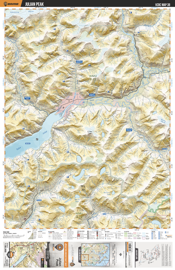
VCBC38 Julian Peak - Vancouver Coast & Mountains BC Topo
This recreation topographic map for the Julian Peak area highlights all the logging roads, trails and recreational Points of Interest including hunting, camping, hiking, mountain biking, canoeing, kayaking, backcountry skiing, wildlife viewing, ATVing, snowmobiling and more. No other map for the area provides you with this level of recreational or topographic detail. Covering 1,090 km2 (420 mi2), this 1:50,000 scale map measures 29 x 38 km (18 x 24 mi) and covers Julian Peak, Toba Inlet, Toba River, Little Toba River, Klite River, Tahumming River, Daniels River, Powell River, Daniels Lake and more!
Page Size: 24 x 37 in (610 x 940 mm)
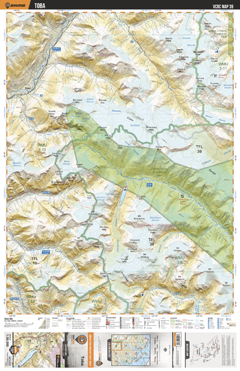
VCBC39 Toba - Vancouver Coast & Mountains BC Topo
This recreation topographic map for the Toba area highlights all the logging roads, trails and recreational Points of Interest including hunting, camping, hiking, mountain biking, canoeing, kayaking, backcountry skiing, wildlife viewing, ATVing, snowmobiling and more. No other map for the area provides you with this level of recreational or topographic detail. Covering 1,090 km2 (420 mi2), this 1:50,000 scale map measures 29 x 38 km (18 x 24 mi) and covers Toba, Toba River, Clendinning Provincial Park, Clendinning Creek, Clendinning Lake, East Toba River, Upper Lillooet Provincial Park and more!
Page Size: 24 x 37 in (610 x 940 mm)
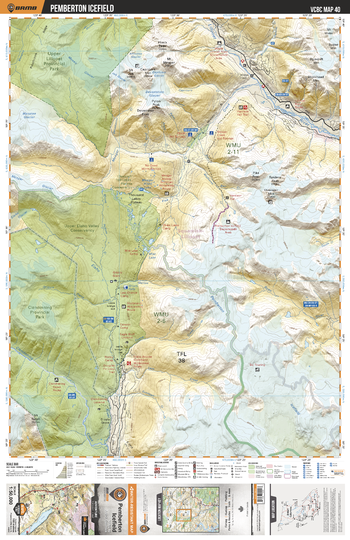
VCBC40 Pemberton Icefield - Vancouver Coast & Mountains BC Topo
This recreation topographic map for the Pemberton Icefield area highlights all the logging roads, trails and recreational Points of Interest including hunting, camping, hiking, mountain biking, canoeing, kayaking, backcountry skiing, wildlife viewing, ATVing, snowmobiling and more. No other map for the area provides you with this level of recreational or topographic detail. Covering 1,090 km2 (420 mi2), this 1:50,000 scale map measures 29 x 38 km (18 x 24 mi) and covers Pemberton Ice Field, Elaho River, Ryan River, Upper Elaho Valley Conservacy, Upper Lillooet Provincial Park, Lillooet River and more!
Page Size: 24 x 37 in (610 x 940 mm)
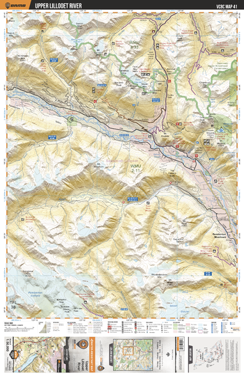
VCBC41 Upper Lillooet River - Vancouver Coast & Mountains BC Topo
This recreation topographic map for the Upper Lillooet River area highlights all the logging roads, trails and recreational Points of Interest including hunting, camping, hiking, mountain biking, canoeing, kayaking, backcountry skiing, wildlife viewing, ATVing, snowmobiling and more. No other map for the area provides you with this level of recreational or topographic detail. Covering 1,090 km2 (420 mi2), this 1:50,000 scale map measures 29 x 38 km (18 x 24 mi) and covers Lillooet River, Ryan River, Hurley River, Qwalimak Upper Birkenhead Conservacy, Tenquille Lake, Petersen Creek, Wasp Creek and more!
Page Size: 24 x 37 in (610 x 940 mm)
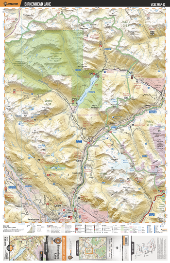
VCBC42 Birkenhead Lake - Vancouver Coast & Mountains BC Topo
This recreation topographic map for the Birkenhead Lake area highlights all the logging roads, trails and recreational Points of Interest including hunting, camping, hiking, mountain biking, canoeing, kayaking, backcountry skiing, wildlife viewing, ATVing, snowmobiling and more. No other map for the area provides you with this level of recreational or topographic detail. Covering 1,090 km2 (420 mi2), this 1:50,000 scale map measures 29 x 38 km (18 x 24 mi) and covers Birkenhead Lake, Birkenhead Lake Provincial Park, Joffre Lakes Provincial Park, Lillooet River, Birkenhead River, Gates River and more!
Page Size: 24 x 37 in (610 x 940 mm)
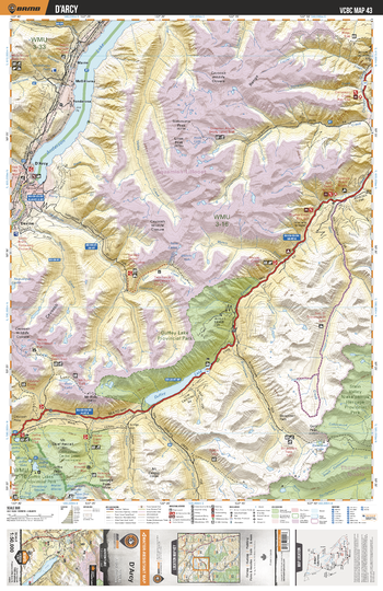
VCBC43 D'Arcy - Vancouver Coast & Mountains BC Topo
This recreation topographic map for the D'Arcy area highlights all the logging roads, trails and recreational Points of Interest including hunting, camping, hiking, mountain biking, canoeing, kayaking, backcountry skiing, wildlife viewing, ATVing, snowmobiling and more. No other map for the area provides you with this level of recreational or topographic detail. Covering 1,090 km2 (420 mi2), this 1:50,000 scale map measures 29 x 38 km (18 x 24 mi) and covers D'arcy, Anderson Lake, Duffey Lake, Duffey Lake Provincial Park, Stein Valley Nlaka'pamux Provincial Heritage Park, Cayoosh Creek and more!
Page Size: 24 x 37 in (610 x 940 mm)
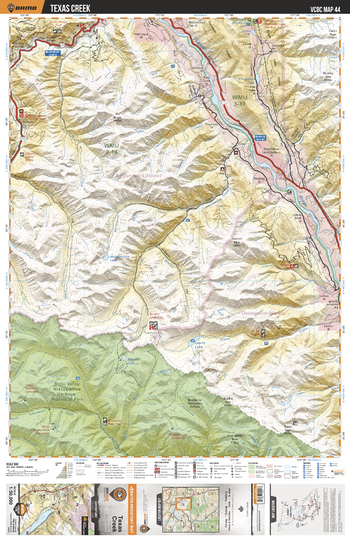
VCBC44 Texas Creek - Vancouver Coast & Mountains BC Topo
This recreation topographic map for the Texas Creek area highlights all the logging roads, trails and recreational Points of Interest including hunting, camping, hiking, mountain biking, canoeing, kayaking, backcountry skiing, wildlife viewing, ATVing, snowmobiling and more. No other map for the area provides you with this level of recreational or topographic detail. Covering 1,090 km2 (420 mi2), this 1:50,000 scale map measures 29 x 38 km (18 x 24 mi) and covers Texas Creek, Fraser River, Devils Lake, Phair Creek, Boulder Creek, Cinquefoil Creek, Molybdenite Creek, Brimful Lake and more!
Page Size: 24 x 37 in (610 x 940 mm)
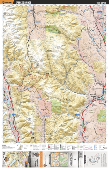
VCBC45 Spences Bridge - Vancouver Coast & Mountains BC Topo
This recreation topographic map for the Spences Bridge area highlights all the logging roads, trails and recreational Points of Interest including hunting, camping, hiking, mountain biking, canoeing, kayaking, backcountry skiing, wildlife viewing, ATVing, snowmobiling and more. No other map for the area provides you with this level of recreational or topographic detail. Covering 1,090 km2 (420 mi2), this 1:50,000 scale map measures 29 x 38 km (18 x 24 mi) and covers Spences Bridge, Thompson River, Fraser River, Oregon Jack Provincial Park, Blue Earth Lake Proivincial Park, Skwaha Lake Ecological Reserve and more!
Page Size: 24 x 37 in (610 x 940 mm)
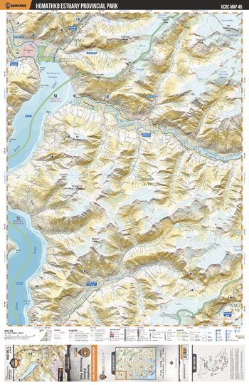
VCBC46 Homathko Estuary Prov Park - Vancouver Coast & Mountains BC Topo
This recreation topographic map for the Homathko Estuary Prov Park area highlights all the logging roads, trails and recreational Points of Interest including hunting, camping, hiking, mountain biking, canoeing, kayaking, backcountry skiing, wildlife viewing, ATVing, snowmobiling and more. No other map for the area provides you with this level of recreational or topographic detail. Covering 1,090 km2 (420 mi2), this 1:50,000 scale map measures 29 x 38 km (18 x 24 mi) and covers Homathko Estuary Provincial Park, Bute Inlet, Southgate River, Orford River, Teaquahan River, Elliot Creek, Gargoyle Creek and more!
Page Size: 24 x 37 in (610 x 940 mm)
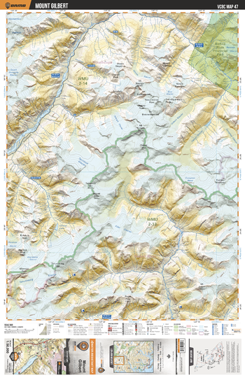
VCBC47 Mount Gilbert - Vancouver Coast & Mountains BC Topo
This recreation topographic map for the Mount Gilbert area highlights all the logging roads, trails and recreational Points of Interest including hunting, camping, hiking, mountain biking, canoeing, kayaking, backcountry skiing, wildlife viewing, ATVing, snowmobiling and more. No other map for the area provides you with this level of recreational or topographic detail. Covering 1,090 km2 (420 mi2), this 1:50,000 scale map measures 29 x 38 km (18 x 24 mi) and covers Mount Gilbert, Southgate River, Bishop River, Bishop River Provincial Park, Klite River, Tavistock Glacier, Icewall Lake and more!
Page Size: 24 x 37 in (610 x 940 mm)
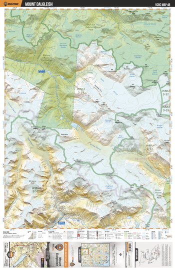
VCBC48 Mount Dagleish - Vancouver Coast & Mountains BC Topo
This recreation topographic map for the Mount Dalgleish area highlights all the logging roads, trails and recreational Points of Interest including hunting, camping, hiking, mountain biking, canoeing, kayaking, backcountry skiing, wildlife viewing, ATVing, snowmobiling and more. No other map for the area provides you with this level of recreational or topographic detail. Covering 1,090 km2 (420 mi2), this 1:50,000 scale map measures 29 x 38 km (18 x 24 mi) and covers Mount Dagleish, Bishop River Provincial Park, Bishop River, Upper Lillooet Provincial Park, Toba River, East Toba River and more!
Page Size: 24 x 37 in (610 x 940 mm)
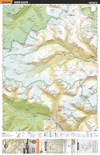
VCBC49 Bridge Glacier - Vancouver Coast & Mountains BC Topo
This recreation topographic map for the Bridge Glacier area highlights all the logging roads, trails and recreational Points of Interest including hunting, camping, hiking, mountain biking, canoeing, kayaking, backcountry skiing, wildlife viewing, ATVing, snowmobiling and more. No other map for the area provides you with this level of recreational or topographic detail. Covering 1,090 km2 (420 mi2), this 1:50,000 scale map measures 29 x 38 km (18 x 24 mi) and covers Bridge Glacier, Bridge River, Lillooet River, Upper Lillooet Provincial Park, South Chilcotin Mountains Provincial Park, Ts'yl-Os Provincial Park and more!
Page Size: 24 x 37 in (610 x 940 mm)
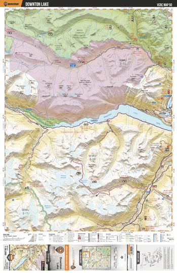
VCBC50 Downton Lake - Vancouver Coast & Mountains BC Topo
This recreation topographic map for the Downton Lake area highlights all the logging roads, trails and recreational Points of Interest including hunting, camping, hiking, mountain biking, canoeing, kayaking, backcountry skiing, wildlife viewing, ATVing, snowmobiling and more. No other map for the area provides you with this level of recreational or topographic detail. Covering 1,090 km2 (420 mi2), this 1:50,000 scale map measures 29 x 38 km (18 x 24 mi) and covers Downtown Lake, Bridge River Delta Provincial Park, Bridge River, Hurley River, Leckie Lake, Slim Creek, Gun Lake and more!
Page Size: 24 x 37 in (610 x 940 mm)
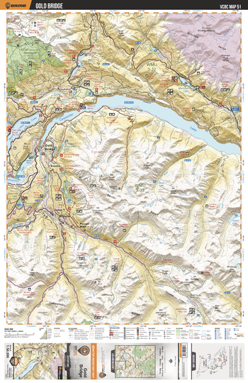
VCBC51 Gold Bridge - Vancouver Coast & Mountains BC Topo
This recreation topographic map for the Gold Bridge area highlights all the logging roads, trails and recreational Points of Interest including hunting, camping, hiking, mountain biking, canoeing, kayaking, backcountry skiing, wildlife viewing, ATVing, snowmobiling and more. No other map for the area provides you with this level of recreational or topographic detail. Covering 1,090 km2 (420 mi2), this 1:50,000 scale map measures 29 x 38 km (18 x 24 mi) and covers Gold Bridge, Gun Lake, Carpenter Lake, Downtown Lake, Hurley River, South Chilcotin Mountains Provincial Park, Noel Creek and more!
Page Size: 24 x 37 in (610 x 940 mm)
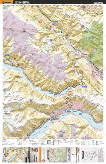
VCBC52 Seton Portage - Vancouver Coast & Mountains BC Topo
This recreation topographic map for the Seton Portage area highlights all the logging roads, trails and recreational Points of Interest including hunting, camping, hiking, mountain biking, canoeing, kayaking, backcountry skiing, wildlife viewing, ATVing, snowmobiling and more. No other map for the area provides you with this level of recreational or topographic detail. Covering 1,090 km2 (420 mi2), this 1:50,000 scale map measures 29 x 38 km (18 x 24 mi) and covers Seton Portage, Anderson Lake, Seton Lake, Carpenter Lake, Fred Antoine Provincial Park, Yalakom River, Burkholder Lake and more!
Page Size: 24 x 37 in (610 x 940 mm)
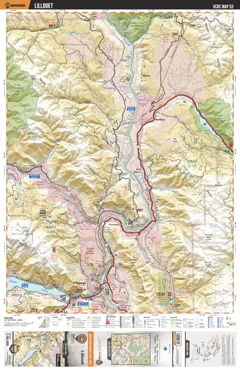
VCBC53 Lillooet - Vancouver Coast & Mountains BC Topo
This recreation topographic map for the Lillooet area highlights all the logging roads, trails and recreational Points of Interest including hunting, camping, hiking, mountain biking, canoeing, kayaking, backcountry skiing, wildlife viewing, ATVing, snowmobiling and more. No other map for the area provides you with this level of recreational or topographic detail. Covering 1,090 km2 (420 mi2), this 1:50,000 scale map measures 29 x 38 km (18 x 24 mi) and covers Lillooet, Seton Lake, Fraser River, Bridge River, Marble Canyon Provincial Park, Edge Hills Provincial Park, Fred Antoine Provincial Park and more!
Page Size: 24 x 37 in (610 x 940 mm)
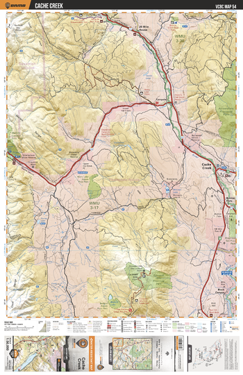
VCBC54 Cache Creek - Vancouver Coast & Mountains BC Topo
This recreation topographic map for the Cache Creek area highlights all the logging roads, trails and recreational Points of Interest including hunting, camping, hiking, mountain biking, canoeing, kayaking, backcountry skiing, wildlife viewing, ATVing, snowmobiling and more. No other map for the area provides you with this level of recreational or topographic detail. Covering 1,090 km2 (420 mi2), this 1:50,000 scale map measures 29 x 38 km (18 x 24 mi) and covers Cache Creek, Cornwall Hills Provincial Park, Harry Lake Aspen Provincial Park, Bonaparte River, Bedard Aspen Provincial Park and more!
Page Size: 24 x 37 in (610 x 940 mm)