SOON40 Goderich - Southern Ontario Topo
Backroad Mapbooks
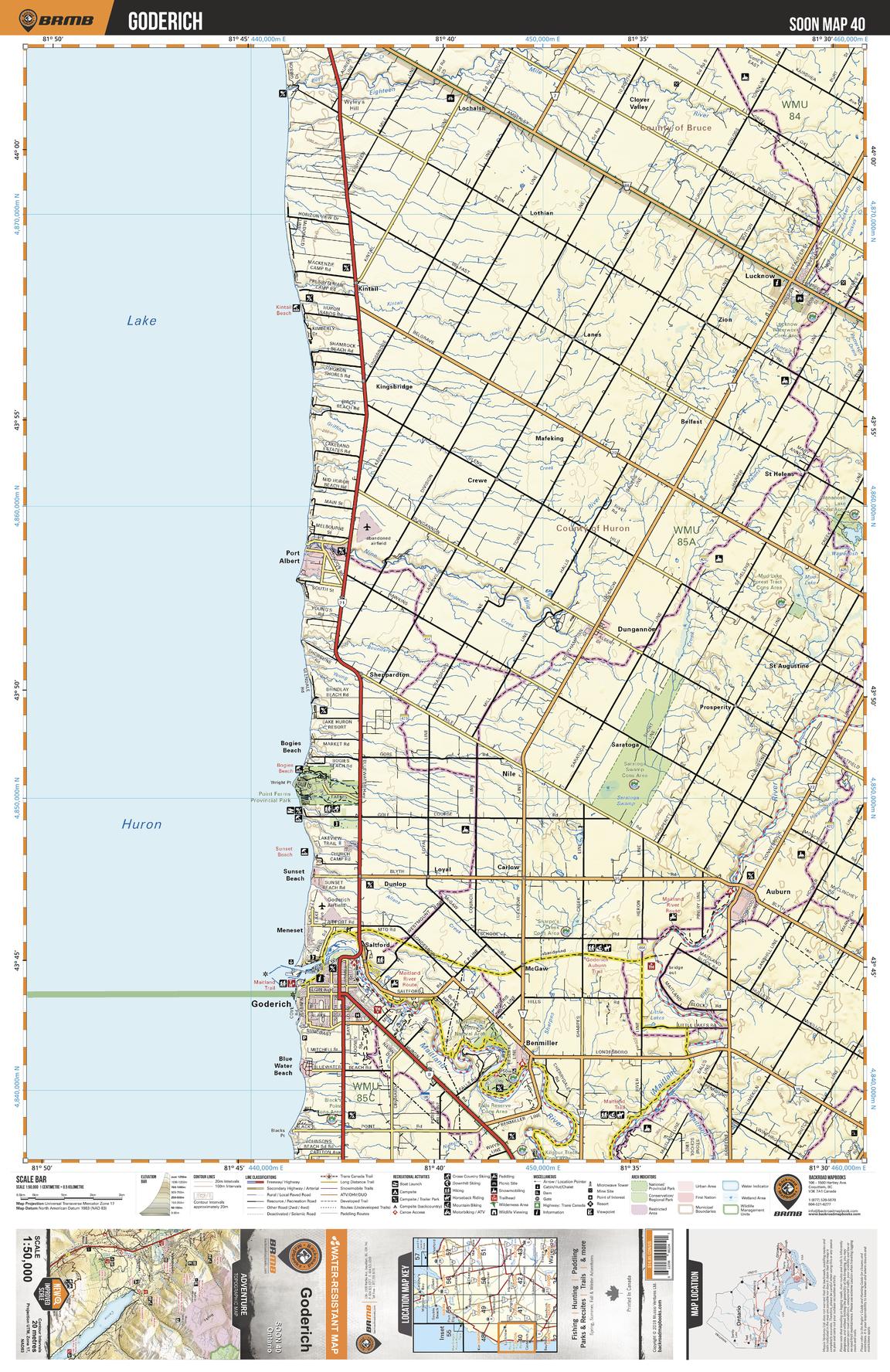
This recreation topographic map for Goderich highlights all the logging/resource roads, hunting areas, fishing lakes & streams, campsites, paddling routes for canoeing and kayaking, wildlife viewing areas, multi-use trails for hiking, biking, horseback riding, cross-country skiing and snowshoeing, motorized trails for ATVing and snowmobiling & more. Covering 1,090 km2 (420 mi2), this 1:50,000 scale map measures 29 x 38 km (18 x 24 mi), providing you with more topographic and recreational detail for the Niagara-on-the-Lake area than any other map on the market. New features include expanded road and trail data and countless recreational Points of Interest. Included on this map are Lake Huron, Goderich, Port Albert, Auburn, Maitland River, Benmiller, Point Farms Provincial Park, Lucknow, Saratoga, Dungannon and more.
Page Size: 24 x 37 in (610 x 940 mm)
Buy this map on MapTrove.ca