top of page
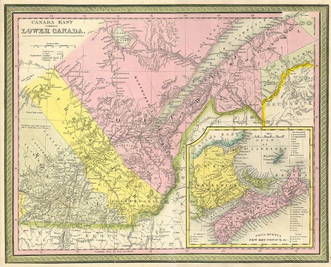
Mitchell Map of Eastern Canada including Quebec (1850)
Artokoloro
1850 map of eastern Canada by American geographer Samuel Augustus Mitchell. Full title: Canada East formerly Lower Canada
Page Size: 13.75 x 11.25 in (347 x 281 mm)
Buy this map on MapTrove.ca or MapTrove.com

bottom of page


