top of page
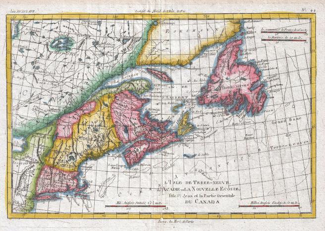
Map of New England and the Canadian Maritime Provinces (1780)
Artokoloro
1780 map of the Canadian maritime provinces, Newfoundland, and New England by Royal Cartographer to France Rigobert Bonne (1727 - 1794), one of the most important cartographers of the late 18th century. Full title: L'Ile de Terre-Neuve, l'Acadie our la Nouvelle Ecodde, l'Ile St. Jean et la Partie Orientale du Canada
Page Size: 13.75 x 9.75 in (347 x 246 mm)
Buy this map on MapTrove.ca or MapTrove.com
bottom of page