top of page
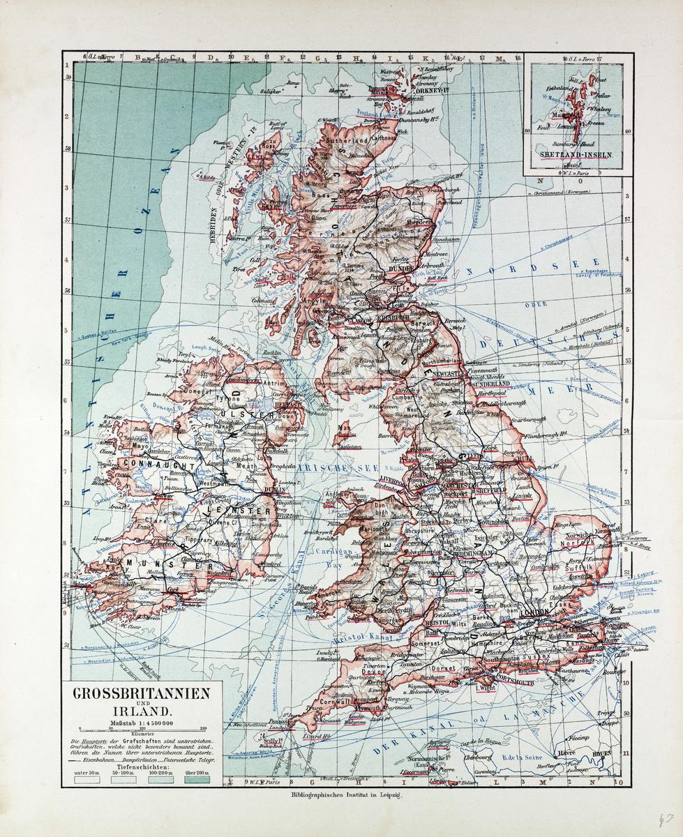
Map of Great Britain and Ireland in German (1899)
Artokoloro
1899 map of Great Britain and Ireland in German showing sea depth and indications of relief on land by German publisher Bibliographisches Institut in Leipzig: Full title: Grossbritannien und Ireland.
Page Size: 20.5 x 25 in (518 x 635 mm)
Buy this map on MapTrove.ca or MapTrove.com
bottom of page