top of page
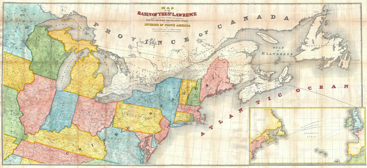
Andrews Map of the Great Lakes and St. Lawrence Basin (1853)
Artokoloro
1853 map of the St. Lawrence Basin by prominent Canadian railway engineer and civil engineer Tomas C. Keefer for Israel D. Andrews' report to Hon. Thomas Corwin, Secretary of the Treasury. Full title: Map of the Basin of the St. Lawrence Showing also the Natural and Artifical Routes Between the Atlantic Ocean and the Interior of North America.
Page Size: 26.75 x 12.25 in (676 x 310 mm)
Buy this map on MapTrove.ca or MapTrove.com
bottom of page