top of page
Geology East Sheet (1906)
Natural Resources Canada
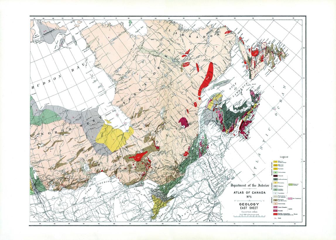
Contained within the 1st Edition (1906) of the Atlas of Canada is a map that shows the geology and bedrock for Eastern Canada. The rock type era and period of formation are represented as letter codes and colour, in addition to indicating the surface coverage. The map emphasizes the extensive area in the Dominion that is occupied by the Archaean nucleus. It also includes major cities and railway systems.
Page Size: 24 x 17.25 in (607 x 434 mm)
Buy this map on MapTrove.ca or MapTrove.com
bottom of page