top of page
Carte Generale Des Decouvertes De Lamiral De Fonte 1752 - Published 1892
National Geographic
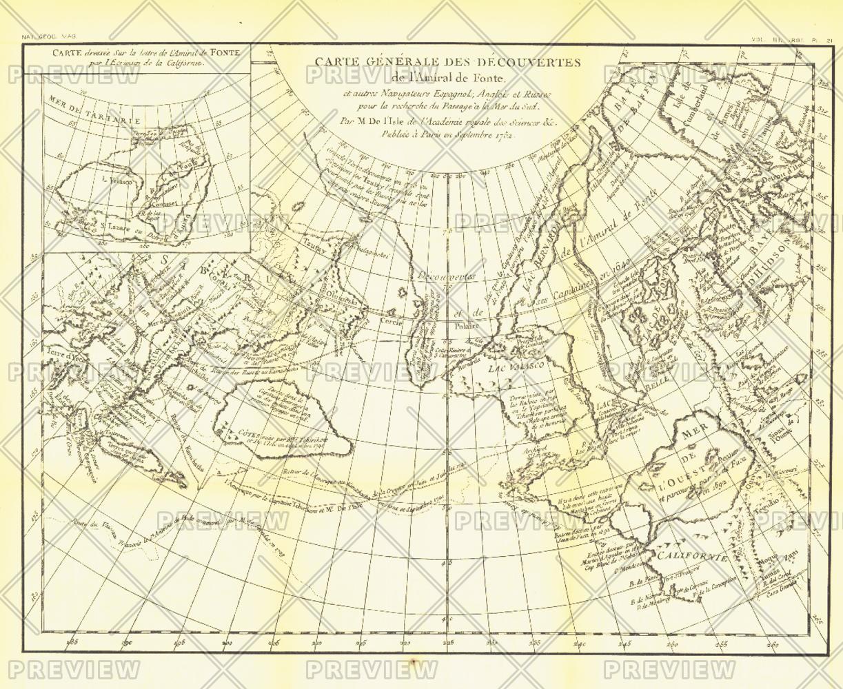
The "Carte Generale des Decouvertes de l'Amiral de Fonte" map is a black and white antique map created by Joseph-Nicolas De l'Isle in 1752 showing the supposed discoveries of Spanish explorer Admiral de la Fuente and the tracks of Spanish, English, and Russian navigators. These mythical "discoveries" included a Northwest Passage. Published in February 1892, it accompanied the article "The Cartography and Observations of Bering's First Voyage."
Page Size: 16 x 13 in (403 x 329 mm)
Buy this map on MapTrove.ca or MapTrove.com
bottom of page